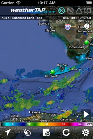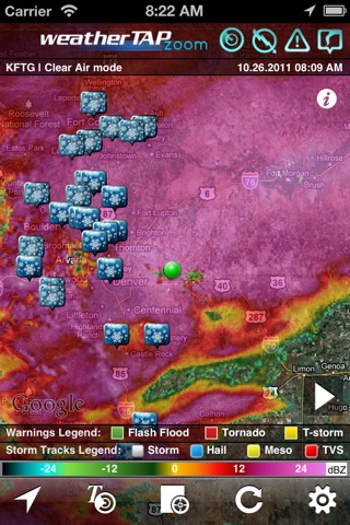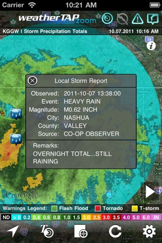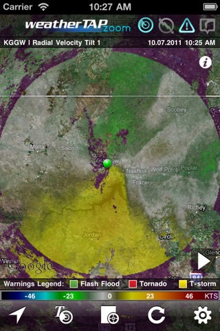
Zoom Weather Pro provides the most personalized, current weather and detailed storm tracking capability of any app. Get much more than your local forecast with Zoom Weather Pro (though you get that too!). Follow tornados and super cells with pinpoint precision using animated, interactive, real-time radar that is seamlessly integrated and scalable on friendly, familiar maps.
KEY STANDARD FEATURES:
• Current weather for your geo-located area
• High-res, NEXRAD Level 3 radar imagery
• Five-day, local forecasts
• Color-coded storm tracks—expected locations plotted at 15, 30, 45 & 60 minutes
• Individual storm details
— • Storm cell identity
— • Tornadic vortex signature
— • Mesocyclone strenth
— • Probability of hail and severe hail, maximum hail size
— • Vertically integrated liquid
— • dBZ reflectivity
— • Maximum dBZ height
— • Echo tops
• Standard, Satellite or Hybrid maps
• Favorite locations for quick navigation
• NWS severe weather warnings—color-coded tornados, severe thunderstorms, flash floods
EXCLUSIVE PRO FEATURES:
• Ad free—no ads, just weather
• Local storm reports—see how severe weather is directly affecting your community
• 16 radar product types
— • Base Reflectivity (tilts 1,2,3,4)
— • Composite Reflectivity
— • Radial Velocity (tilts 1,2)
— • Storm Relative Velocity (tilts 1,2,3,4)
— • 1-Hour Precip totals
— • Storm Precip Totals
— • Vertically Integrated Liquid
— • Echo Tops and Enhanced Echo Tops
• Radar filtering for Base and Composite Reflectivity
• Storm path estimates—see a list of communities and neighborhoods directly in a storm’s path, along with estimated strike times
The high-end features on weatherTAP zoom Pro use data from all of the 156 NEXRAD radar sites throughout the USA, including Alaska, Hawaii, Guam and Puerto Rico.


